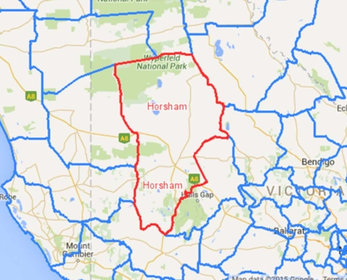
For the Wimmera Mallee Pipeline Project (WMPP) 11,732 square kms of land was flown and LIDAR & aerial imagery obtained. This award winning dataset (http://www.hatch.ca/news_publications/news/2007/nov12_07.htm) when thinned consisted of 1.3 billion LIDAR points.
GIS Solutions assisted in managing and setting up this dataset which at the time was one of the worlds largest LIDAR & orthimagery datasets ever delivered! We assisting in importing this giant dataset into the corporate system, created new datasets from the Terrain dataset such as 1m contour lines and assisted in providing users access to this data in a fast accessible way.