MSF Sugar Cartographic Map Design – QGIS
MSF Sugar required cartographic paper maps to be used in sections of their business. QGIS was used to create accurate, informative maps ready for printing


MSF Sugar
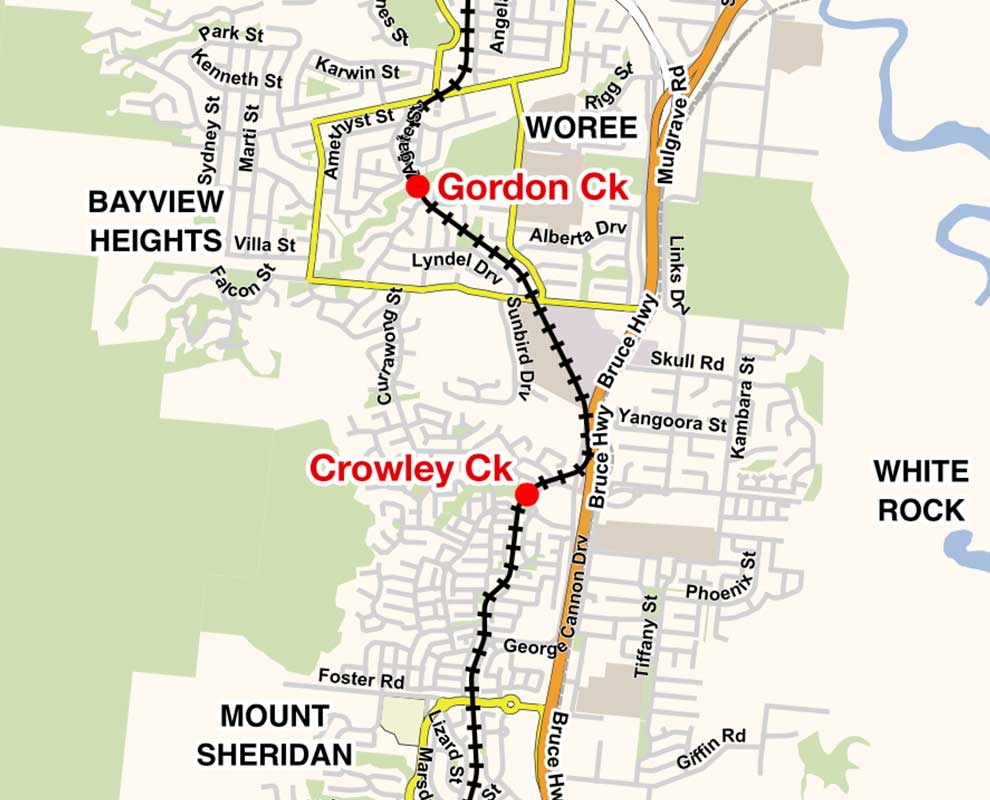
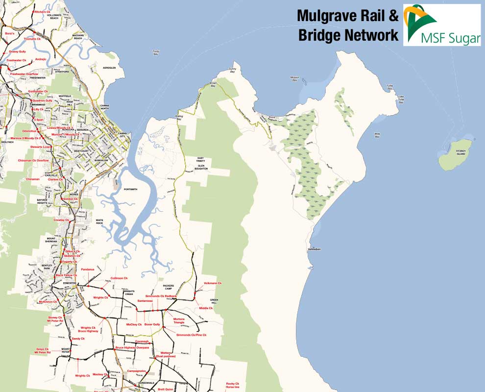
GIS Solutions sourced appropriate MapServer hosting and configured the WMS tile server service to serve map images of the required data.
A secure website was then designed and built that allowed members to login, select a region then view and download spatial information about that region. Website used the Google Maps Javascript API and embedded custom layers of extra spatial data from the MapServer WMS tile server to create an easy to use system. All clients needed to access the site was a web browser, no extra GIS software on the client side was required.
An easy way for administrators to upload new spatial data was also created so that the site could be maintained and updated without GIS Solutions staff.

 Department of Agriculture and Fisheries ESRI ArcGIS Training